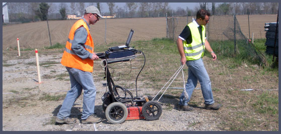
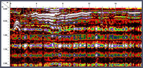
 Georadar
 represents a survey method based on the transmission of high frequency electromagnetic pulses into the ground by a transmitter (antenna) and on the analysis of reflected echoes generated by buried features.
Discontinuities capable to reflect back to the surface the electromagnetic wave are generally associated to variations of ground elastic properties, caused by lithologic or water saturation changes. Also the presence of subsurface cavities can be detected, on the basis of the contrast between the electromagnetic velocity difference between air and ground.
Depths of investigation depend on the type of antenna and the lithologic properties of investigated areas.
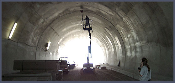
This method is efficiently applied for the verification and the control of infrastructures, waste sites and areas of archaeological interest.
|